
Putting it all together.
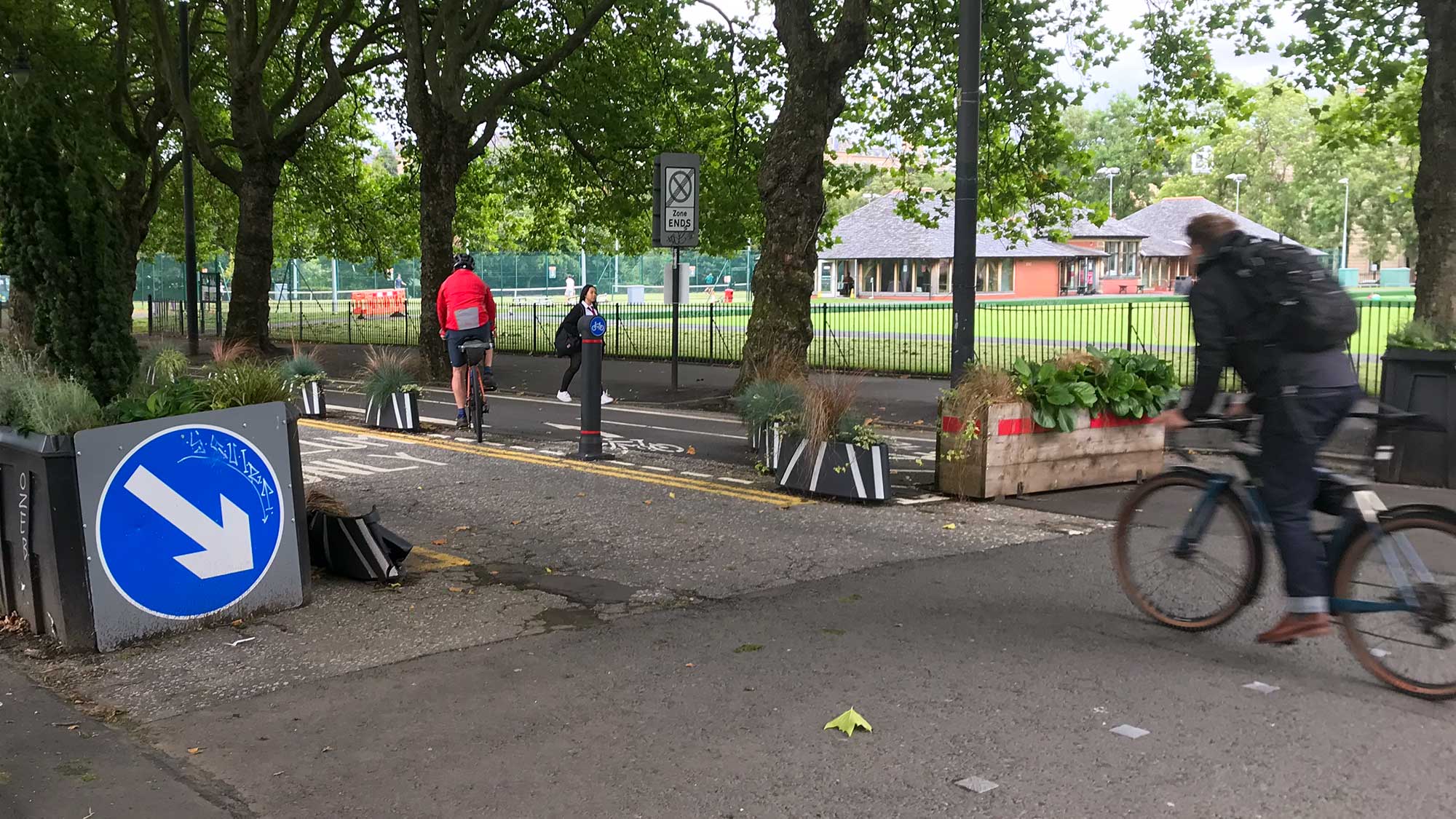
August opens with Cycle to Work Day and plenty of Traffic Orders from Glasgow, East Ayrshire and East Dunbartonshire. There’s analysis of the event for the eastern side of Argyle St, with accessibility issues raised again. Also, a major city centre plan being pushed by GCC (with several emails to GoBike). It has a few surprises which could help connect the city centre. (Tonight’s Digest was delayed by connection and commuting issues –apologies.)
Forthcoming consultations
The second stage of consultation about the Raeberry Street Quietway is due to open tomorrow (5 August). This follows the first phase consultation from late 2021 and is part of the wider Connecting Woodside project. Also starting soon (about a year after the Traffic Order) is the North Kelvin/North Woodside Restricted Parking Zone.
Contents
(new/updated items in bold – link jumps to article)
Section 1: Current Consultations
- Paisley Town Centre – Causeyside Street Regeneration
- Ayr to Prestwick Active Travel Route
- Connecting Battlefield
- Kittochside Road Traffic Calming Scheme
- Carmunnock Road Roundabout 20mph Speed Limit Zone
- Barras North (Calton Village) TRO
- Laggan Road filter TRO
- Rugby Park, Kilmarnock – Parking Consultation
- George Square & ‘Block C’ Avenues – ‘Our Place’
- Glasgow City Centre Transformation Plan
- Greater Pollok Strategic Development Framework
- Greenock to Battery Park SfP lane
Section 2: Consultation Feedback
- A803 & St Helen’s, Bishopbriggs – Traffic Regulation Orders
- Garnethill Traffic Management and Parking Controls Order
- ‘Argyle St East’ Avenue webinar notes
1: Current Consultations
(in date order for responses)
1.1: Paisley Town Centre – Causeyside Street Regeneration
Council: Renfrewshire.
Area: Causeyside St and St Mirren St between Paisley Canal and Gilmour St train stations.
Subject: A potentially very useful link on a main road. A segregated cycletrack is proposed between the pedestrianised part of Gilmour St down Causeyside St to just past Stow Brae (where there’s a link to NCN75 at Telford’s). Renfrewshire Council removed some Spaces for People projects and have very little protected, on-road infrastructure. So, even though the proposed cycletrack would be 2-way, it’s a big step forward for the area. Talk of keeping/adding car parking spaces may jar but it’s one less stick for critics to beat it with. There will still be many hurdles to clear, including accessibility and reaction from shoppers/shopkeepers. The plans are by Amey, better known for their trunk road work. That may explain the lack of trees and the convoluted junction south of Stow Brae.
Website links: Causeyside St ‘storymap’ (with survey at end).
Deadline: 7 August 2022.
1.2: Ayr to Prestwick Active Travel Route
Organisation: Ayrshire Roads Alliance (on behalf of South Ayrshire Council).
Subject: An upgraded “active travel route linking Ayr Esplanade to Prestwick Town Train Station will be proposed. It is envisaged that the proposed route will also connect to existing core paths in addition to future aspirational schemes such as Accessible Ayr, The Culzean Way and the Prestwick to Barassie Active Travel Route.” If it goes ahead, it would replace part of the current NCN7 along the coast, so has potential for cycle tourism as well as local journeys. There are photos of issues along the current route but no plans/visuals. So, it seems to be an early consultation to get comments (and maybe gauge demand?). If so, the more responses the better.
Website links: Ayr to Prestwick survey.
Deadline: 12 August 2022.
1.3: Connecting Battlefield
Council: Glasgow City.
Area: Battlefield Road, Grange Road, Langside Road and Queens Drive (between Queen’s Park and Mount Florida).
Subject: Relaunch of the former Battlefield Street Design project after a few years on hold during the pandemic. It features a uni-directional extension to the South City Way cycletrack running alongside Queen’s Park and down Battlefield Road. Also, there would be major changes to junctions at Queen’s Drive, Langside Rd and Battlefield Rest (removing a road between it and the old Victoria Hospital site). The consultation site mentions the Liveable Neighbourhood plans for Langside to Toryglen so hopefully these will dovetail with the Battlefield plans.
Featured: Consultation Extra, February 2020.
Website links: Connecting Battlefield ‘Storymap’ and Connecting Battlefield survey.
Deadline: 14 August 2022.
1.4: Kittochside Road Traffic Calming Scheme

Council: Glasgow City.
Area: Northern end of Kittochside Road, Carmunnock (between Glasgow and East Kilbride).
Subject: Installing 13 speed cushions (with bollards) on the wider sections of Kittochside Rd as it comes past housing into the village. On the narrow section south of the village (with hedgerows either side), motor vehicles may have to slow down to pass each other. However, despite having no pavements, the southern part of the road is also used by pedestrians and people cycling. It remains to be seen if this scheme will have any effect on traffic levels and road safety overall.
Website links: Kittochside Rd Traffic Calming area (PDF), Kittochside Rd section 1 (PDF) and Kittochside Rd section 2 (PDF).
Deadline: 19 August 2022.
1.5: Carmunnock Road Roundabout 20mph Speed Limit Zone

Council: Glasgow City.
Area: Not in Carmunnock – it’s the roundabout on the main road between King’s Park and Castlemilk (B766).
Subject: Extending the 20mph zone to the shops on the Carmunnock Rd/Brakemire Dr service roads next to the roundabout.
Website links: Carmunnock Rd 20mph TRO documents (combined PDF).
Deadline: 24 August 2022.
1.6: Barras North (Calton Village) TRO

Council: Glasgow City.
Area: North of Gallowgate, between Barrack St and Melbourne St in Calton.
Subject: Parking restrictions and traffic calming in area of new housing. The site, east of the Morrisons supermarket, had lain empty for decades. Wheatley Group is building new flats, called ‘Calton Village’ (for “mid-market rent”) and amending the road layout. Armour St will be filtered at its western end so traffic for Morrisons has to use Barrack St. Various parking bays and build-outs are planned (plus secure bike parking). However, Melbourne St is used as a rat run (to avoid traffic lights) so may be better with a diagonal filter to stop through traffic.
Website links: Barras North/Calton Village TRO documents (combined PDF) and housing development planning application.
Deadline: 25 August 2022.
1.7: Laggan Road filter TRO

Council: Glasgow City.
Area: Laggan Rd in Muirend between Langside Dr and Merrylee Rd/Clarkston Rd.
Subject: Proposals for a filter at the north end of Laggan Rd at Coylton Rd. Presumably to stop drivers taking a shortcut between Langside Dr and Clarkston Rd. The filter has bollards and an exemption for cycling so should be permeable.
Website links: Laggan Rd filter TRO documents (combined PDF).
Deadline: 26 August 2022.
1.8: Rugby Park, Kilmarnock – Parking Consultation

Council: East Ayrshire.
Subject: A Traffic Regulation Order to bring in matchday parking restrictions on 30+ roads around Rugby Park, home of Kilmarnock FC. They’re newly promoted back to the Scottish Premiership so bigger clubs, with more supporters, will be visiting. The club and stadium are one of the oldest in Scotland so they’re in the middle of a residential area. The proposed measures seem to be mainly painted lines and signage. More ambitious event day parking zone proposals for Ibrox Stadium and Celtic Park were dropped by GCC in May.
Website links: Rugby Park TRO page (Tell Me Scotland website) and TRO documents (combined PDF).
Deadline: 26 August 2022.
1.9: George Square & ‘Block C’ Avenues – ‘Our Place’

Council: Glasgow City.
Area: George Square and surrounding streets from ‘Block C’ of the Avenues project (including West George St, North Hanover St, Hanover St, Miller St, John St, George St and Cochrane St).
Subject: The next step in the consultation about the square and its surroundings (the last round was in Feb/Mar). New visualisations show the designers have got the message about more greenery. They’re an improvement on the current, quite barren, square but are not final. Which is just as well, since the shared spaces and road treatments at north and south look like they’d need more work. There are display panels at the western side of George Sq showing designs for the square and Avenues. Drop-in sessions will be held next to the panels on…
Saturday 6 August (1pm to 4pm) and
Thursday 18 August (4pm to 7pm).
There are two surveys – one for George Square and one for the proposed Avenues.
Featured: Digest 106, Item 1.5.
Website links: George Sq ‘Our Place’ engagement website.
Deadline: 2 September 2022.
1.10: Glasgow City Centre Transformation Plan

Council: Glasgow City.
Subject: Another plan about the city centre, with familiar themes from Districts to Avenues, but also some surprises. A few more cycle/pedestrian bridges have appeared in the maps, including across the M8 and River Clyde. Cathedral St is apparently being made bus-only, which raises questions about cycling provision (and traffic on High St).
Also, “Workshops will be held on Microsoft Teams…
Accessibility: Walk/Cycle/Connections – Tuesday 16th August 2022 (at 10:30am).
Greener Glasgow/Streets/Place/Parking/Servicing – Tuesday 23rd August 2022 (morning).
Public Transport: Bus/Train/Subway/Metro/Taxi – Thursday 25th August 2022 (morning).
Open Forum/Aims/All-Topic Discussion – Wednesday 31st August 2022 (afternoon).”
Website links: City Centre Transformation Plan webpage and CCTP survey.
Deadline: 12 September 2022.
1.11: Greater Pollok Strategic Development Framework
Council: Glasgow City.
Area: South-western corner of Glasgow at edge of M77 and East Renfrewshire. Includes Leverndale, Nitshill, Priesthill and Darnley neighbourhoods.
Subject: The latest SDF follows others for North Glasgow, Inner East, etc. and looks at the economy, environment and transport over the next few decades. This part of Glasgow juts out between Barrhead and Thornliebank so connections with East Renfrewshire are important. It covers part of Dams to Darnley Country Park so has some things in common with the recent Barrhead consultation map. Also, Braidcraft Rd and Brockburn Rd have Spaces for People lanes (as does Corkerhill Rd to north). However, there are some hellish junctions around Silverburn Shopping Centre. Later in the year GCC should write a draft strategy for further consultation.
First featured: Digest 113, Item 1.6.
Website links: Greater Pollok Commonplace map.
Deadline: September 2022.
1.12: Greenock to Battery Park SfP lane
Council: Inverclyde.
Subject: A Spaces for People temporary route between Greenock town centre and a coastal park. A council vote was 9:2 in favour of keeping the lanes for another six months, with a further review in September. Photos in the consultation survey show a mixture of on-road ‘soft’ segregation and painted lanes on footways and across side roads. While some of the junction and bus stop treatments may not be ideal, there seem to be decent protected sections too.
First featured: Digest 108, Item 1.12.
Website links: Greenock Town Centre to Battery Park – Community Engagement and Inverclyde Now article on council vote.
Deadline: No obvious deadline.
Section 2: Consultation Feedback
2.1: A803 & St Helen’s PS, Bishopbriggs – Traffic Regulation Orders
Council: East Dunbartonshire.
Subject: Orders for parking restrictions in areas around Kirkintilloch Rd and Wester Cleddens Road. EDC say the TROs “have now been made and will become effective on Monday, 5 September 2022.”
Featured: Digest 101, Item 1.5 / Digest 106, Item 1.7.
2.2: Garnethill Traffic Management and Parking Controls Order
Council: Glasgow City.
Subject: GCC say: “your objection was reported and considered. However, the Council have decided under its scheme of delegated functions to proceed with the proposal as advertised. The Order was made on 15th July 2022.”
Featured: Digest 91, Item 1.3.
2.3: ‘Argyle St East’ Avenue webinar notes
Council: Glasgow City.
Area: East of the Hielenman’s Umbrella/Central Station bridge along Argyle St and Trongate to the junction at Tolbooth steeple.
Subject: Notes from a recent online meeting about the eastern end of Argyle St. The meeting was introduced as “more about information than consultation” as plans have been underway since 2018. The main change would be putting a one-way road through the current pedestrianised blocks of Arygle St, to help speed up bus routes (with protected contraflow cycle lane). Further east, there would be one-way cycletracks on either side of the road. There was quite a lot of support for the cycle lanes but many points in the meeting came from blind people objecting to bus stop bypasses and raised road tables.
Website links: Argyle St East Avenue webinar note.
One Reply to “Consultation Digest (Local) Issue 116, 04 August 2022”
Comments are closed.